|
Weston-Williamstown - June 2013 |
|
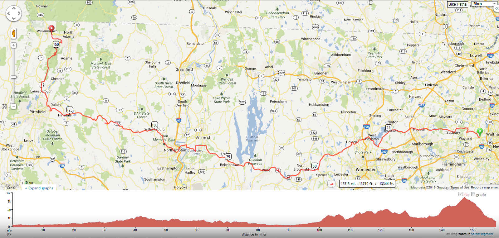

click here for slide show The Prep Jon M's "Weston to Williamstown" sounded like the perfect alternative to the B2B (been there, done that) as well as a great tune-up for the 200 on 100 two weeks later. "IN!" As the rider list came together, it became clear that I'd have my work cut out for me. Eleven of us in all: Tom K, Steve L, Alan M, Jon M, Mike M, Eric S, Peter S, Stan S, Dan S, Graham W, and me. In addition, five "lead out" riders saw us off for the first 40-50 miles before turning back to tend their gardens and whatnot: Bruce C, Eric C, Larry G, Tom K II, and Peter V. In poker, there's a saying that if you don't know who the sucker at the table is, it's you. Well, in this group, I knew, but that didn't make me any less the sucker. After a rainout on Saturday, June 8, the plan called for a Sunday, June 9 5:45a rollout, planned stops along the way, SAG support, dinner in Williamstown, and van/trailer service back to Weston. As the route map above shows, the basic profile was gentle up/gentle down/gentle up for the first 100 miles. Then, the teeth would bare: climb-descend-repeat-multiple-times, a brief flat respite, then Mt. Greylock up-and-down. The Ride 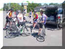 After everyone had arrived, we rolled out around 5:55a.
We ended up skipping the first planned stop at mile 40, survived a flat and a bit of group breakup, then
regrouped with our excellent SAG driver Anna K at the 75 mile mark in Belchertown. After everyone had arrived, we rolled out around 5:55a.
We ended up skipping the first planned stop at mile 40, survived a flat and a bit of group breakup, then
regrouped with our excellent SAG driver Anna K at the 75 mile mark in Belchertown.
My Garmin had locked up at about 65 miles--it took me about 2 1/2 miles to get it reset. Here's the segment up to that point: 64.7 miles, average 17.5 mph, 4,475 feet of climbing.  Weston-Ware And here's the missing 2.6 miles (my OCD compels me to include it).  "Ware 2.6 mi" 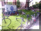 We rolled into beautiful Northampton at the 90 mile mark for lunch and a SAG meetup.
After 30 minutes or so, we headed back out.
The pace at 97 miles turned up a notch higher than I found comfortable and I dropped.
I had discussed this likelihood with Jon in advance--my on-the-spot
contingency plan was to follow Route 9 west to Pittsfield, then Route 7 north to Williamstown, skipping the Greylock climb
(which I'd like to try on fresher legs) and descent (which doesn't interest me
in the least).
Route 9 (upper profile below) offered the same distance as 143 (lower profile), but with less climbing. As much of a into-the-wind and uphill slog as Route 9 turned out to be (2580' feet of climbing, including "summits" in Goshen and Windsor), I'm glad I skipped 143 (3620').  Route 9  Route 143 Here's my second route segment (2.6 miles my Garmin didn't register, then 63.4 miles, average 14.3 pmh, 4,654 feet of climbing). 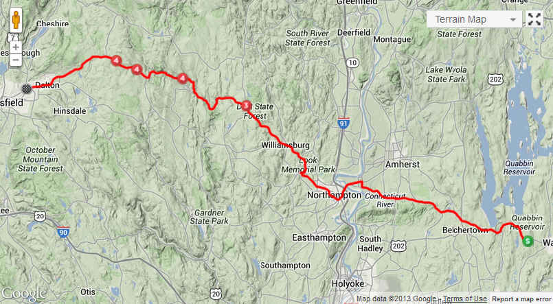 Ware-Pittsfield An interesting side note: when I checked Strava after getting home, I noticed an "Achievement" on this part of the ride. Given how hard this leg had been (or more accurately, how poorly I'd performed on this leg), that surprised me. Turns out, I had earned a 2nd place on a segment called "Stage Hill Climb." After the Goshen summit, my Garmin had taken me north off Route 9 at Cummington, as it was trying to get me to Williamstown as directly as possible. Unfortunately, this added a fairly steep climb up Plainfield Road. Part of the way up that climb and sensing that something wasn't right, I stopped at the intersection with Stage Road to check Google Maps. I had two choices: double back to Route 9 or take the shorter path along Stage Road. Despite it being gravel, I opted for the latter. I descended steeply down to Mill Brook only to face an equally steep climb up the other side. Given the sketchy condition of the road (to say nothing of my legs), I paused my Garmin and hiked up. Somehow, I assumed, that pausing had triggered the near-KOM. A deeper dive into Strava revealed a different truth, however--I was only the second rider to log that segment! Back on Route 9, I pushed on. And up, to the Windsor* summit. When driving, the sign "Slow vehicles keep right" brings a smile to my face--it's a chance to pass. I learned--repeatedly--that when riding, these signs bring a different facial expression. Perhaps even some uttered profanities. When I pulled into Pittsfied, I checked my message and saw a note to consider a SAG ride. Not knowing the distance to Williamstown, I gave Anna a call. As it happens, she was only minutes away, the main group having just departed the Pittsfield stop. She came back, we loaded my bike on the rear rack, and we were off. AC and leather seats have never been so comfortable.  A few miles later, I asked Anna how far to
Williamstown.
"About 16 miles," she replied.
I immediately kicked myself for not having stayed on my bike to finish the
W-W (albeit without Greylock).
I still had enough left in my legs to cover that distance, especially given Dan S's earlier remark about how it was all downhill.
About then, we passed a number of the group getting ready to turn off toward the Greylock
climb (picture at right). A few miles later, I asked Anna how far to
Williamstown.
"About 16 miles," she replied.
I immediately kicked myself for not having stayed on my bike to finish the
W-W (albeit without Greylock).
I still had enough left in my legs to cover that distance, especially given Dan S's earlier remark about how it was all downhill.
About then, we passed a number of the group getting ready to turn off toward the Greylock
climb (picture at right).
About halfway to Williamstown, we received a call from a rider at the base of Greylock who was electing not to make the climb. We doubled back and met him along Route 7. When it became obvious that we'd have to do a fair amount of shuffling the contents of the SAG vehicle to seat the three of us, I took it as a sign. I pulled my bike back off the rack, donned my shoes and helmet, and set off north on 7. Here's what my SAG segment ended up being (ignoring the section up toward Williamstown and back). 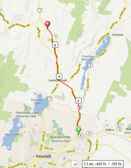 Pittsfield-Lanesborough via SAG This next stretch was the anti-Route 9. It wasn't long before I pulled into beautiful Williamstown under a late afternoon sun, made a quick tour of the campus (mostly because I didn't remember the location of the meeting point), then joined up with the SAG at the ride endpoint for a slice of pizza (thanks, Eric!), a parking lot "shower" (thanks, baby wipes!), and another 145 miles under my tires. 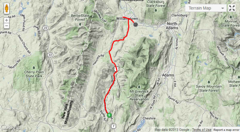 Lanesborough-Williamstown Dan was right--here's the profile for this final segment. Including the initial climb, I averaged nearly 20 mph for the final 13 or so miles of riding (total segment: 15.1 miles, average 18.7 mph, 398 feet of climbing).  
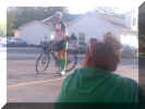
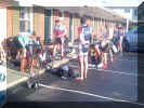
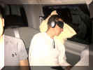 Shortly after eating, the van/trailer arrived.
Then, the Greylock summiteers starting filering in.
Everyone cleaned up, we grabbed some food (and beer--thanks Peter!) for the road, and headed east ... in style.
The Numbers For posterity, my totals:
*I didn't know it at the time, but the Windsor summit would mark the last of the remotely challenging parts of my ride. |
|